top of page
Surveying & Mapping
Topographic Mapping
Orthomosaics
Feature Detection
Feature Detection
Cadastre
Emergency Preparedness
Geo-referenced Imagery
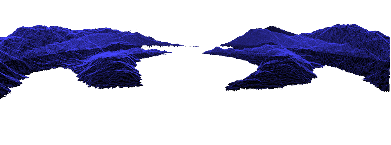
Digital Terrain Model
VHR Orthomosaics
KML, Geojson
Derived Flood Simulation
&
Response Kit
Emergency Preparedness
Digital Surface Model
Elevation Contours
Point Cloud
Damage Index Map & Report
Derived Landslide Simulation
NDVI
Landfill Volume
Boundary
Delineation
Network
Delineation
ROI
Reduce time and cost in surveying and mapping
Eliminate risk of first responders during emergencies
Estimate flood and landslide risk for preparedness activities
Increase business intelligence using visual maps and geospatial analysis


Remote Sensing & Image Segmentation

Survey engineer with total station

Remote Sensing & Image Segmentation
1/6
Industrial grade UAVs
Professional & certified flight operators
flight Policy & permitting
State of the art total stations, theodolites, gps/gnss units
Professional & certified engineers
over 50 surveying projects

bottom of page